53 — Seneca Rocks
2016-01-03. By Patrick.
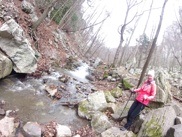
Fig. 1. Kelly crossing the stream along Roy Gap Rd.
For Christmas vacation, we traveled to Canaan Valley, WV, for the skiing. We did get some skiing in but we didn't know we would on our drive up. In passed years, we would always look for the Seneca Rocks formation as we drove up to the cabin. It's a twenty five minute drive from Canaan Valley to Seneca Rocks. Since we've always been focused on the skiing when we've been in the area, we've never stopped to check it out. But it's such a beautiful formation; it was just a matter of time.
And this year was perfect. We were not expecting any snow. And the kids were not driving up until later. So Kelly and I decided to drive out from Chapel Hill early so that we could get some time at 'The Rocks'. And we were not disappointed.
We parked in the parking just south of the Seneca Rocks town center and started our hike up Roy Gap Rd. After some climbing, there is a stream crossing on the left and then a steep climb up between two huge quartzite fins. I think this trail is mostly for rock climbing route access. The two fins are magnificent. The one on the left is actually pretty small compared to the true cliff that the one on the right becomes. And the stairs are huge rock steps that require a bit of clambering.
We didn't have time to explore all the way to the cliff base that day. But the next day we came back with our son Isaac and a friend Kar. This time we made it all the way to the base of the cliffs where we had lunch. We were a bit unsure of the safety of some of the trails there and so we came back down the way we had come. Then found more cliff access trails as we circled the formation in a counter-clockwise direction. There were neat caves and some long scree slopes on the way to the northern end of The Rocks. At that end, we met the terminus of the regular hiking trail at an overlook. We took the regular hiking trail back.
And that's the way we usually see places. First, go off the beaten path. Search for those places that are unknown. Get lost. Come across a main trail and take it back. Much fun.
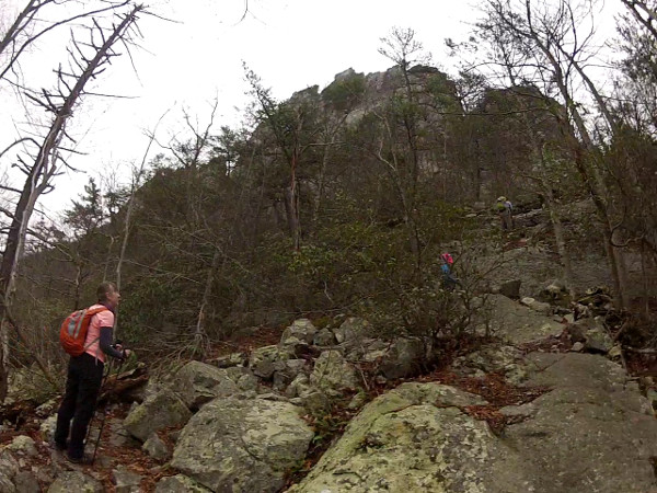
Fig. 2. Getting close to the cliffs. There is are some pretty slippery rocks to cross here and a long steep roll down if we slip.
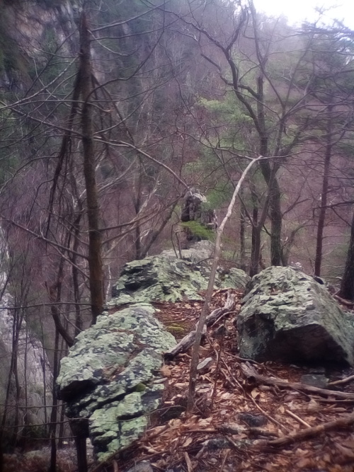
Fig. 3. Looking back along the top of one of the fins we passed on the way up. It's the one on you're left side as you climb up.
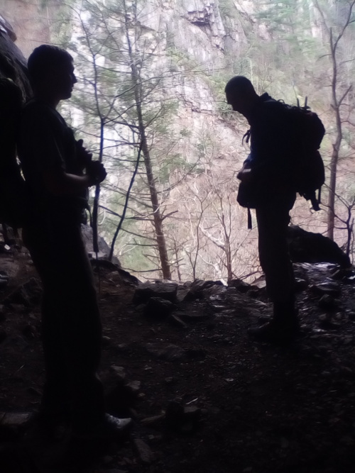
Fig. 4. Silhouettes Isaac (left) and Patrick looking out from one of the caves.